The Journey of a Data Point
From billions of measurements to a single block of wood
Method
-
Every work begins with a strategic question. We identify and vet global datasets that capture the true pulse of human activity—spanning 930 million population cells and 9.3 million economic data points. This stage is about finding the "topographic signal" within the noise.
-
We bypass political abstractions like national borders to extract data at the most granular level—kilometer-scale resolution. By harvesting raw, gridded data, we preserve the authentic gradients of urban density and economic output that traditional maps obscure.
-
This is where data becomes geometry. Using the Equal Earth projection, we ensure geographic honesty across the globe. We then apply logarithmic scaling and rank-based binning to encode these complex values into a physical language: Maple, Cherry, and Walnut represent density, while 1", 2", and 3" reliefs represent magnitude.
-
The final "thousand judgments" happen in our Chicago studio. Each block is milled to a fixed footprint and hand-assembled onto a rigid backer. We use a concealed cleat system to ensure the final piece has an architectural, floating presence rather than hanging like a poster.
Relief Standards
-
![Blue digital data stream with lines and dots, creating a 3D tunnel effect and depicting research]()
Research
Global, gridded population datasets are used instead of country totals as country borders obscure how people actually occupy space.
Spatially distributed GDP (PPP) data is used rather than national GDP figures as economic activity is uneven within countries and must be spatially resolved.
Datasets span billions of individual data points at kilometer-scale resolution. This resolution preserves urban concentration, corridors, and gradients.
-
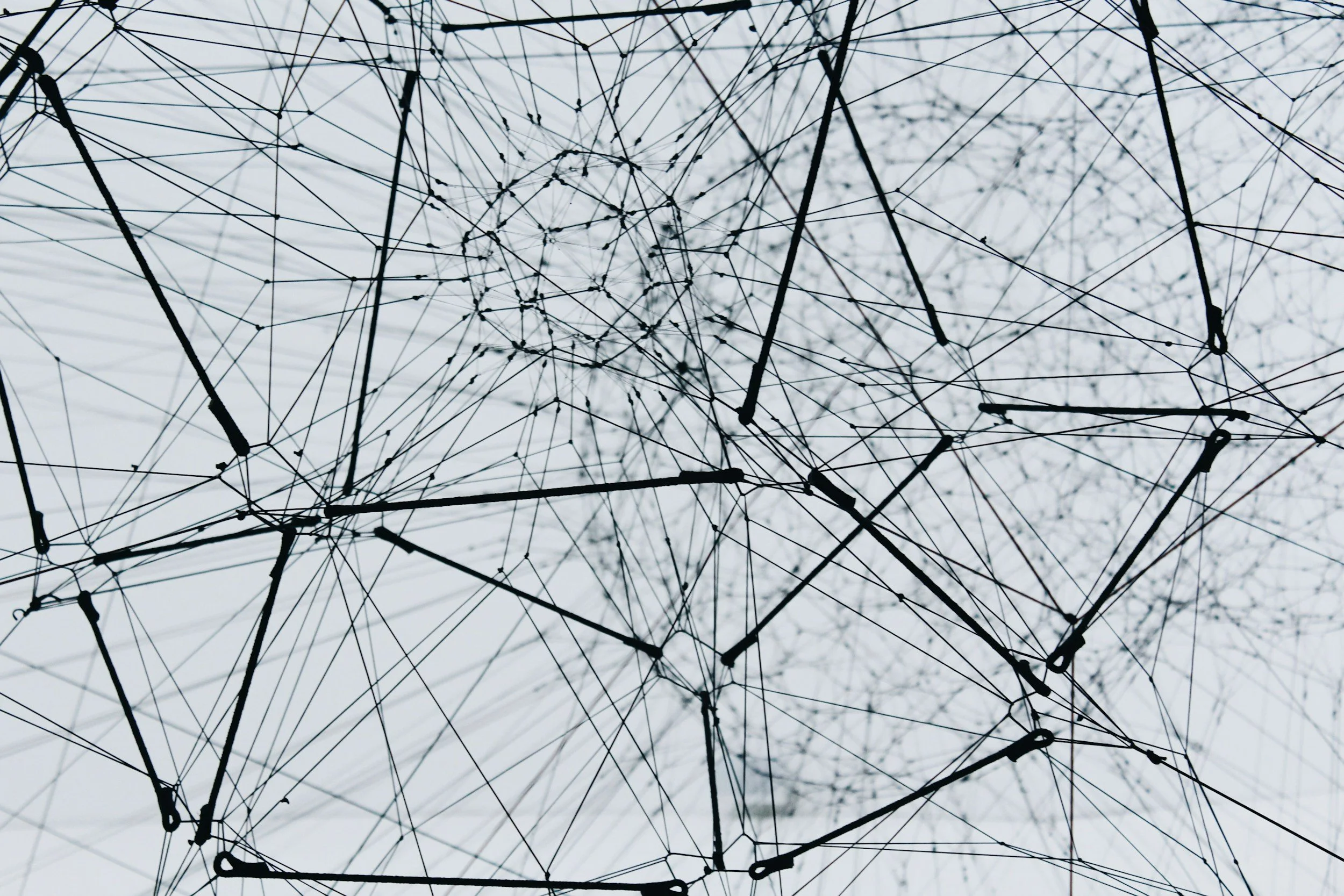
![A close-up view of interconnected black wires and clips forming a complex web against a light sky background representing extraction.]()
Extract
The Earth is reprojected using an equal-area map projection. Most world maps distort area, exaggerating high latitudes and minimizing the tropics.
Each grid cell represents the same physical land area. This allows population and economic values to be compared meaningfully across latitudes.
Antartica is clipped. Land cell threshold = 10% land fraction to avoid spurious micro-islands while retaining meaningful coastal structure.
-
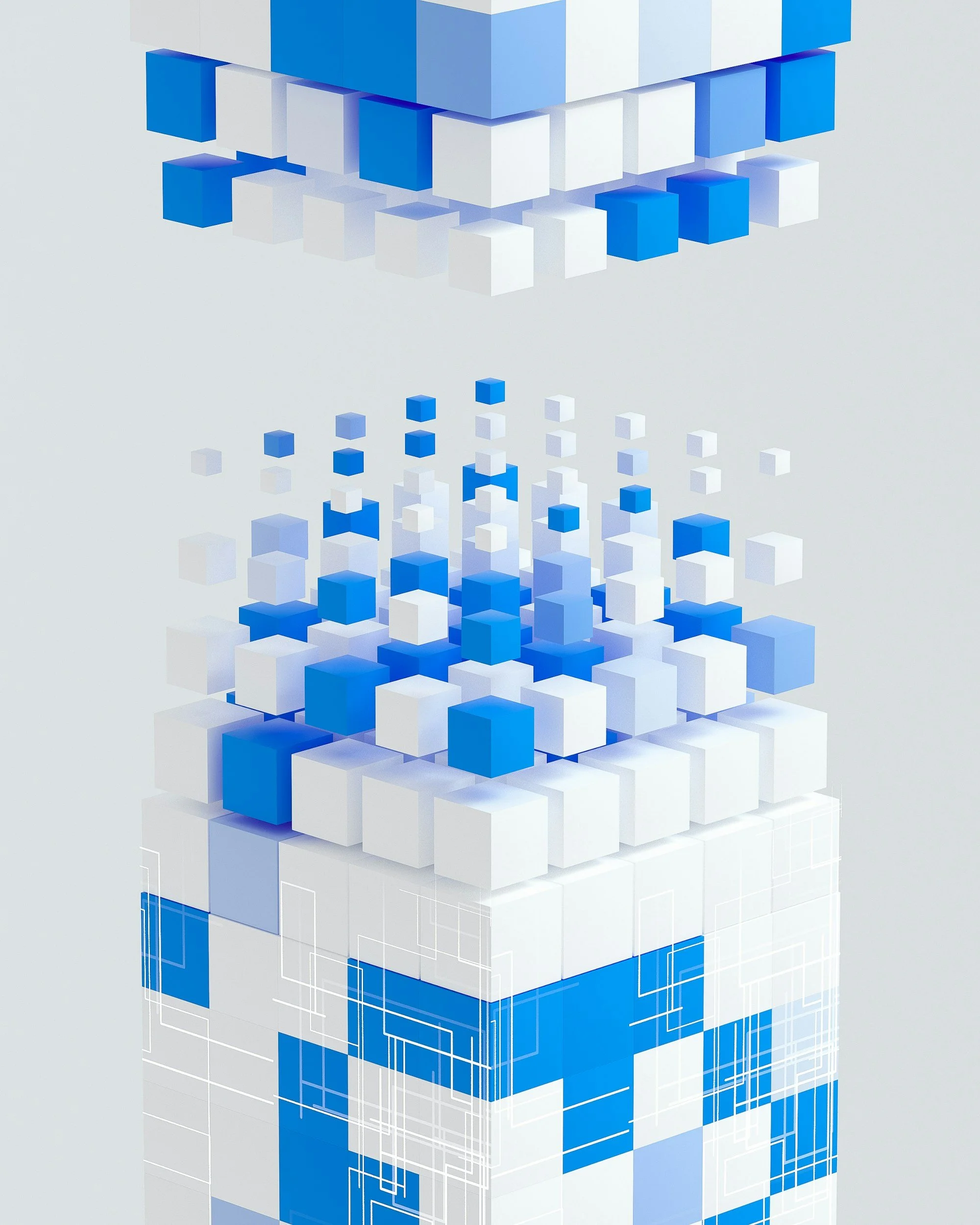
![Abstract digital illustration with layers of white and blue cubic blocks arranged in a geometric pattern, giving a 3D and technological appearance. This represents transformation.]()
Transform
Bark & Beam uses a fixed rectangular grid per version. Countries are intersected with grid cells to compute land area per cell.
GDP is aggregated as a zonal sum over the GDP rasterized surface. GDP values are logarithmically scaled before binning as global economic output spans orders of magnitude.
Population density is computed as “people per km² of land within the cell”, not per total cell. This choice prevents coastal cells or fragmented land cells from being artificially diluted by ocean area.
-
![A person uses a band saw to cut a piece of wood, with their hand steadying the wood on a workbench and depicting fabication.]()
Fabricate
Three different wood species encode population density. This allows for material variation to be perceived without explanation.
Relief height encodes economic output. Vertical difference conveys magnitude intuitively.
Each block is milled to a fixed footprint and assigned height. The dimensional accuracy preserves spatial relationships.
Final pieces are framed and mounted using a concealed cleat system. The work is meant to float, not hang like a poster.