
The Process: A Thousand Judgements.
Bark & Beam pieces are among the most geometrically accurate physical representations of global population and economic distribution that can be rendered at this scale. They are computationally derived and materially executed — equal parts data artifact and crafted object.
-
It all begins with the selection of high quality datasets.
Global, gridded population datasets are used instead of country totals as country borders obscure how people actually occupy space.
Spatially distributed GDP (PPP) data is used rather than national GDP figures as economic activity is uneven within countries and must be spatially resolved.
Datasets span billions of individual data points at kilometer-scale resolution. This resolution preserves urban concentration, corridors, and gradients.
-
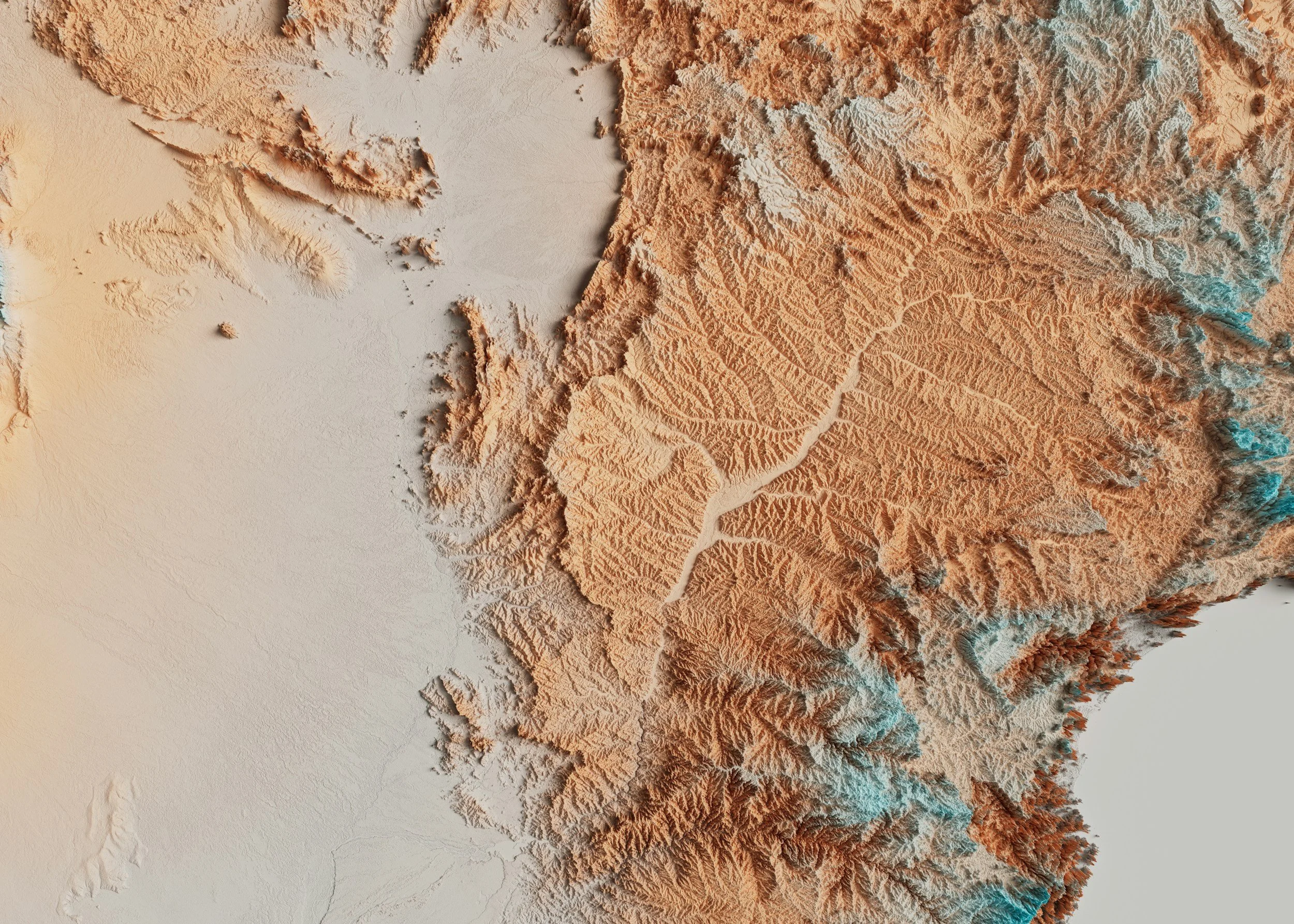
The Earth is reprojected using an equal-area map projection. Most world maps distort area, exaggerating high latitudes and minimizing the tropics.
Each grid cell represents the same physical land area. This allows population and economic values to be compared meaningfully across latitudes.
-
The projected world is divided into a fixed rectangular grid. This Discretization allows continuous data to be translated into physical units.
Each cell represents a defined geographic footprint. This means every block corresponds to a real place.
Cells below a land-area threshold are excluded. Oceans remain intentional negative space.
-
Population values are summed within each grid cell. Density is computed per physical area, not per country.
GDP values are aggregated within the same cells. Economic output is spatially uneven.
Tercile binning is applied across land cells only as relative differences matter more than absolute extremes.
GDP values are logarithmically scaled before binning as global economic output spans orders of magnitude.
-
Three different wood species encode population density. This allows for material variation to be perceived without explanation.
Relief height encodes economic output. Vertical difference conveys magnitude intuitively.
-
Each block is milled to a fixed footprint and assigned height. The dimensional accuracy preserves spatial relationships.
Blocks are assembled by hand onto a rigid backer. Alignment matters; no block is placed arbitrarily.
Final pieces are framed and mounted using a concealed cleat system. The work is meant to float, not hang like a poster.

Technical Specifications
This section details the computational pipeline used to generate Bark & Beam reliefs. It is intended for readers familiar with spatial data, cartographic projections, and quantitative aggregation.
Data Sources
1
Population data
Format: Global raster (GeoTIFF)
Native resolution: ~30 arc-seconds (≈1 km at the equator)
Approximate grid size: ~43,200 columns × 21,600 rows
Total raster cells: ~930 million
Year used: Single snapshot (2020) for the current reliefs
GDP data
Format: NetCDF (time series)
Native resolution: 5 arc-minute grid (≈10 km)
Approximate grid size: ~4,320 columns × 2,160 rows
Total raster cells: ~9.3 million per year
Year used: Single snapshot (2015) for the current reliefs
Spatial Reference System
2
All datasets are reprojected into Equal Earth (EPSG:8857) for analysis and gridding so grid cells remain spatially comparable at global scale.
All inputs are clipped to latitude ≥ −60° prior to gridding/aggregation to remove Antarctica from the dataset and the physical build
Land cell threshold = 10% land fraction to avoid spurious micro-islands while retaining meaningful coastal structure
Density uses land area, not total cell area, to avoid coastline dilution
GDP is log-transformed before tercile binning to prevent extreme concentration from flattening the relief
Rank-based terciles provide stable, balanced physical encoding under heavy-tailed global distributions
Grid Construction
3
Bark & Beam uses a fixed rectangular grid per version. Each cell becomes either:
Ocean cell (excluded from fabrication), or
Land cell (fabricated as a hardwood block)
Versions (grid resolution)
COURSE: 40 × 20 grid → 800 total cells
FIELD: 52 × 26 grid → 1,352 total cells
SURVEY: 80 × 40 grid → 3,200 total cells
Countries are intersected with grid cells to compute land area per cell
For each land cell polygon, population is aggregated as a zonal sum over the population raster. GDP is aggregated as a zonal sum over the GDP rasterized surface
Population density is computed as “people per km² of land within the cell”, not per total cell. This choice prevents coastal cells or fragmented land cells from being artificially diluted by ocean area
4
Zonal Aggregation
Normalization & Binning
5
The objective is a stable, interpretable three-level physical encoding rather than a continuous (and visually fragile) mapping
All binning is performed on land cells only (ocean cells remain zero-coded)
Land-cell population density values are converted into rank percentiles, then split into terciles (1/2/3). Rank-based binning is chosen for robustness to heavy-tailed distributions and to preserve balanced material representation across the world grid
Land-cell GDP totals are transformed via log10(GDP + 1), then converted into rank percentiles and split into terciles. The log transform prevents a small number of extreme GDP cells from collapsing the visual dynamic range
Material Encoding
6
Each land cell encodes two variables simultaneously:
Species (Population density tercile):
Bin 1 → Maple
Bin 2 → Cherry
Bin 3 → Walnut
Height (GDP tercile): Discrete and version-scaled:
COURSE: 1.00″ / 2.00″ / 3.00″
FIELD: 0.75″ / 1.50″ / 2.25″
SURVEY: 0.50″ / 1.00″ / 1.50″